June 29th, 2009 by Ricardo Píriz
We just relesased magicGNSS version 1.1 that allows using the Precise Point Positioning (PPP) algorithm via email. Just send an email to [email protected] with the Subject Static and one or two RINEX files attached. More info can be found here.
Posted in Announcements | Comments Off on Precise Point Positioning by email
June 1st, 2009 by Ricardo Píriz
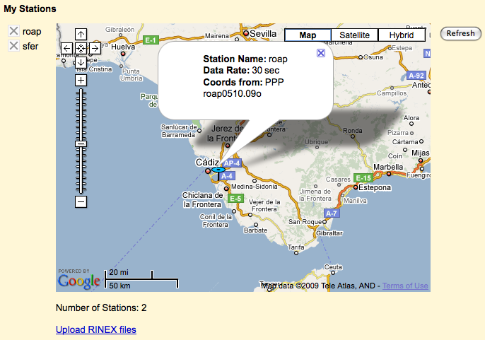
In the previous entry I explained how to upload and share your own station data in magicGNSS. The first public station in magicGNSS is called gap1, uploaded by myself (rpiriz).
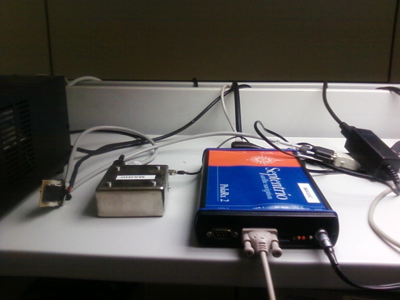
The gap1 station is located in our offices in Tres Cantos, Madrid, Spain. A Septentrio PolaRx2 GPS receiver, connected to a Temex iSource LPFRS Rubidium atomic clock, is permanently running in our lab. The receiver is controlled by a dedicated PC under GNU/Linux.

On the roof, Read the rest of this entry »
Tags: Announcements, Technology
Posted in Announcements | Comments Off on New public station: gap1
June 1st, 2009 by Ricardo Píriz
We have just released magicGNSS version 1.0 (not a Beta anymore!) You can have a look at the brochure we have prepared for the new product.
One of the things you can do with the new magicGNSS 1.0 is to upload and share your own station data (as a *pro* user only). If you share a station other users will be able to process its data in PPP and ODTS. If you want to share your station data, just click on the Share checkbox in My Stations:

Read the rest of this entry »
Tags: Announcements, Tips & Tricks
Posted in Announcements | Comments Off on Get social with version 1.0
May 28th, 2009 by Ricardo Píriz
This information is deprecated, please visit the new post.
Just a quick explanation about the meaning of station icons in magicGNSS:
 GPS+GLONASS core station
 GPS core station
 Deselected station
 Reference clock (in ODTS)
 GPS+GLONASS user station with precise coordinates
 GPS+GLONASS user station (or rover) with approximate coordinates
 GPS user station with precise coordinates
 GPS user station (or rover) with approximate coordinates
 GPS+GLONASS public station with precise coordinates
 GPS+GLONASS public station with approximate coordinates
 GPS public station with precise coordinates
 GPS public station with approximate coordinates
Posted in Help, Tips & Tricks | Comments Off on (Deprecated) About station icons
April 1st, 2009 by Ricardo Píriz
The tropospheric delay in the GPS signals is considered a nuisance by most PPP users. Something you must get rid of in order to observe more interesting things like the station coordinates or clock. However the tropospheric delay in itself might have interesting applications, for example in weather prediction, since part of the tropo delay is caused by the water content of the atmosphere.

Let us see how the PPP in magicGNSS calculates (and removes) the tropo delay. It is basically modeled as a delay on the station vertical (zenith), using a mapping function to account for the different satellite-to-station signal elevations. The zenith delay is then estimated as a constant value every hour, for each station. Read the rest of this entry »
Posted in Help, Tips & Tricks | Comments Off on PPP and the atmosphere


