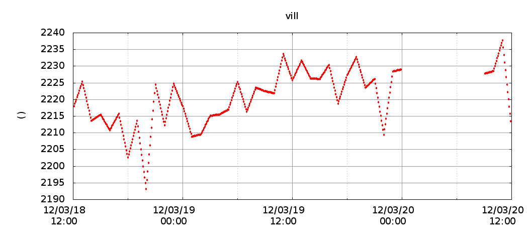
Zenith tropospheric delay in Madrid
February 17th, 2010 by Ricardo PírizGPS satellite signals experiment a delay when they go through the atmosphere. One of the applications of GPS data processing is the extraction of atmospheric water vapour content from the tropospheric delay in the GPS measurements. Information about water vapour content in the air is useful as input for weather forecast models.
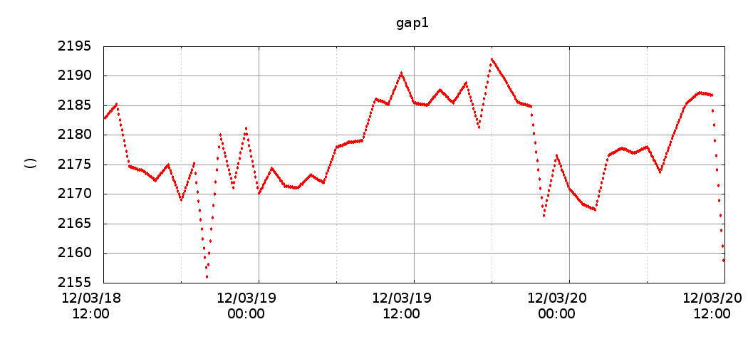
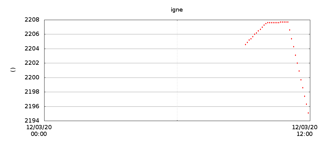
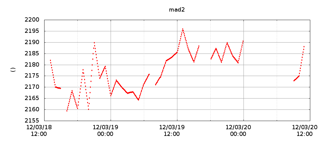
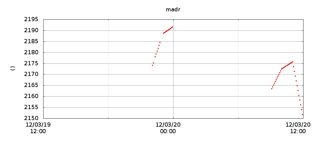
In order to demonstrate the capabilities of magicGNSS for weather prediction applications, we have set up a testbed to process 5 GPS stations in Madrid, Spain. The stations are called: gap1, igne, mad2, madr, and vill. The maximum distance between any pair of stations is around 50 km. The mad2 and madr stations share the same location, therefore their zenith tropospheric delays should be identical.
The near-real time station data is processed by the Precise Point Positioning (PPP) algorithm. The station data is processed automatically every hour using the new Scheduler in magicGNSS. The results are shown on the following live plots, updated 35 minutes after the hour. Time is UTC.
